Climbing Cornador Gran passing Barranc de Biniaraix
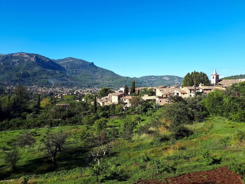
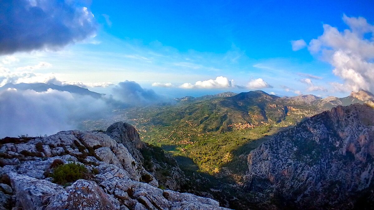
This medium difficult 7.5 miles route with an elevation gain and loss of 3490 feet, near Soller in the Tramuntana Mountains, takes us to the top of the Cornador Gran mountain through the Barranc de Biniaraix. The views from the Xim Quesada viewpoint over the Soller valley are spectacular. In the wetter months of the year, water flows throughout the ravine, and we can also see the Gorg de Ca’n Cati waterfall. On the way down we will pass through the Ses Alfabies cave.
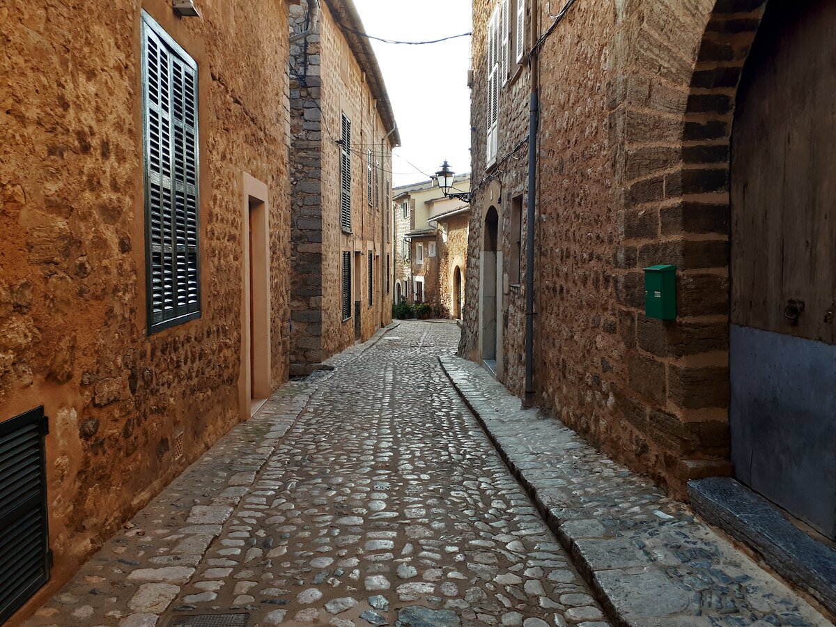
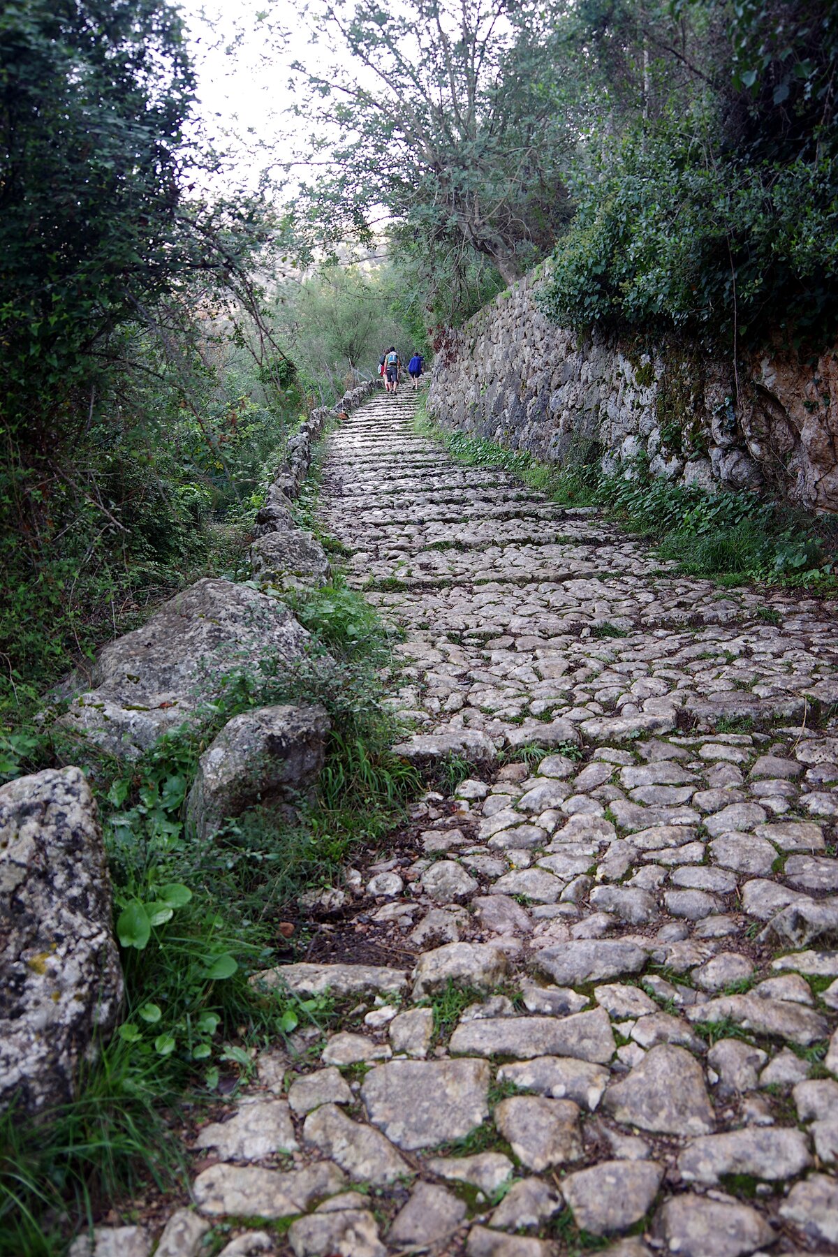
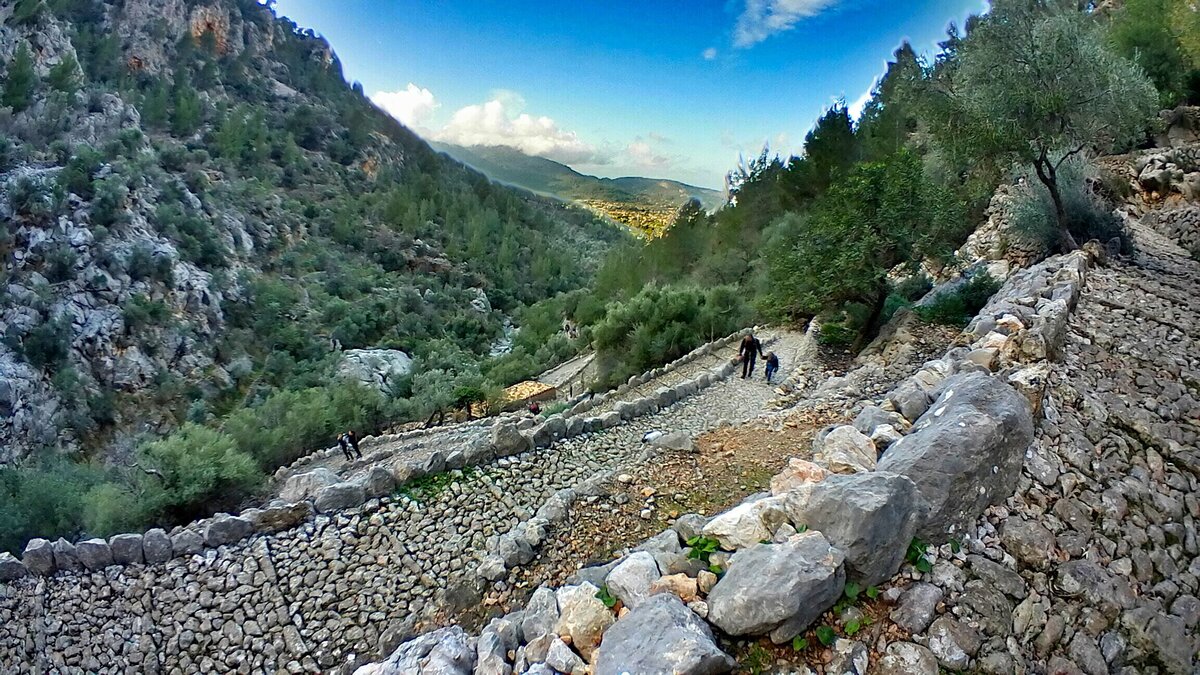
The first part of the climb is easy, it is a cobbled path with 1,932 steps, the rest is somewhat more complicated.
It is a long hike and there is a considerable accumulated height, so it will take a lot of stamina to complete the excursion.
medium 6:00 h 7.8 mi 144 ft 3127 ft 3491 ft
map
Route
Start
We start the excursion near Biniaraix, coordinates
39.768120, 2.724144 (directions).
You can park here easily. On weekends and bank holidays you can park at the end of the road's school parking.
The path really begins at Font d'en Det in Biniaraix, but this is the nearest point where you can park.

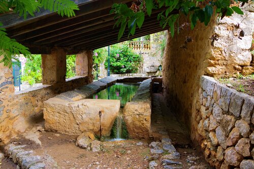
Font d'en Det
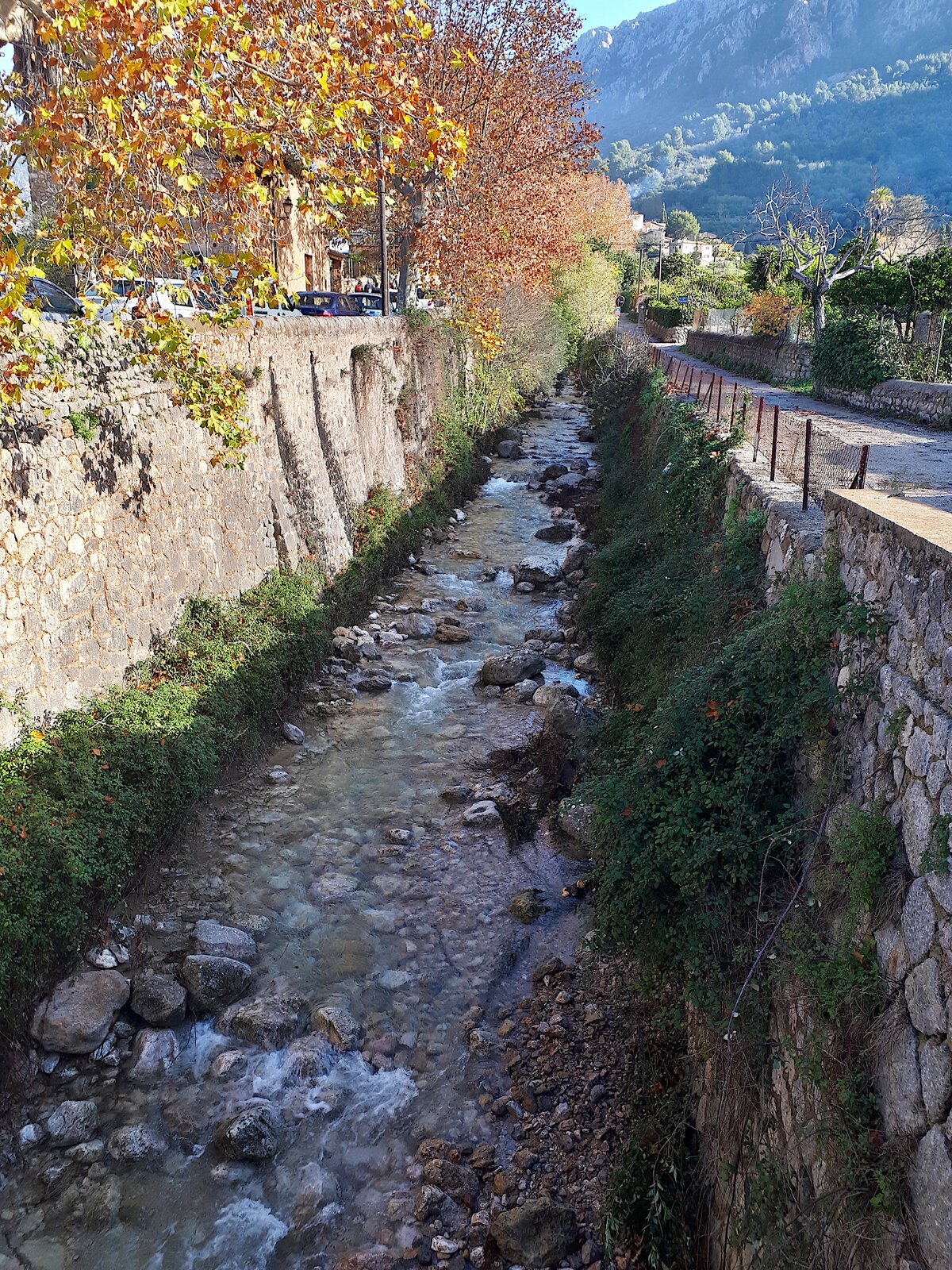
We walk about 0.6 miles along the street to Biniaraix until we reach the Font d'en Det. This is where the trail begins, we can see a sign reading "GR 221 Barranc de Biniaraix".

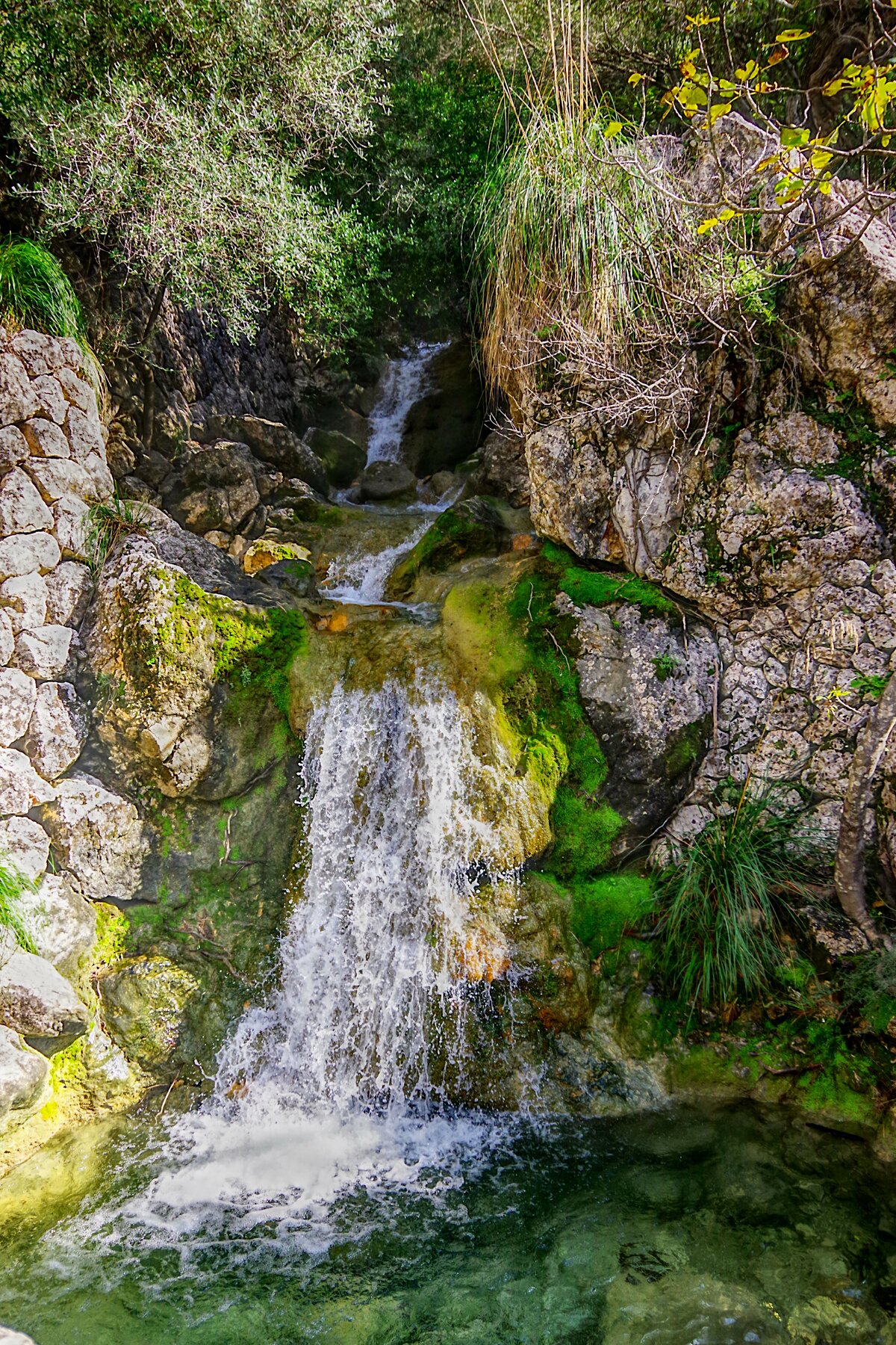
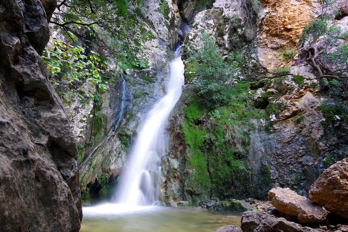
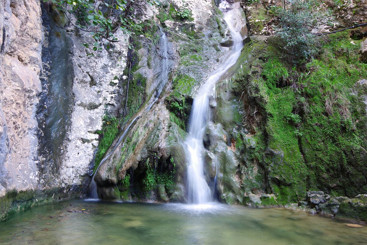
Gorg de Ca’n Cati
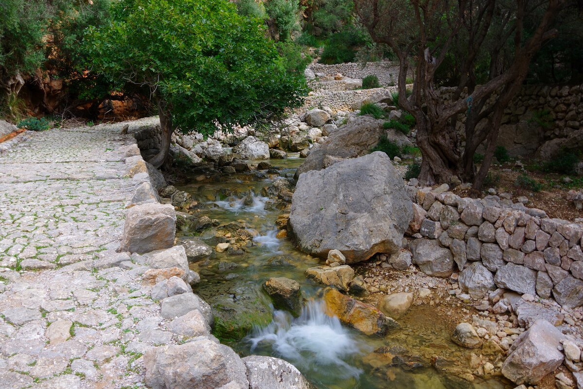
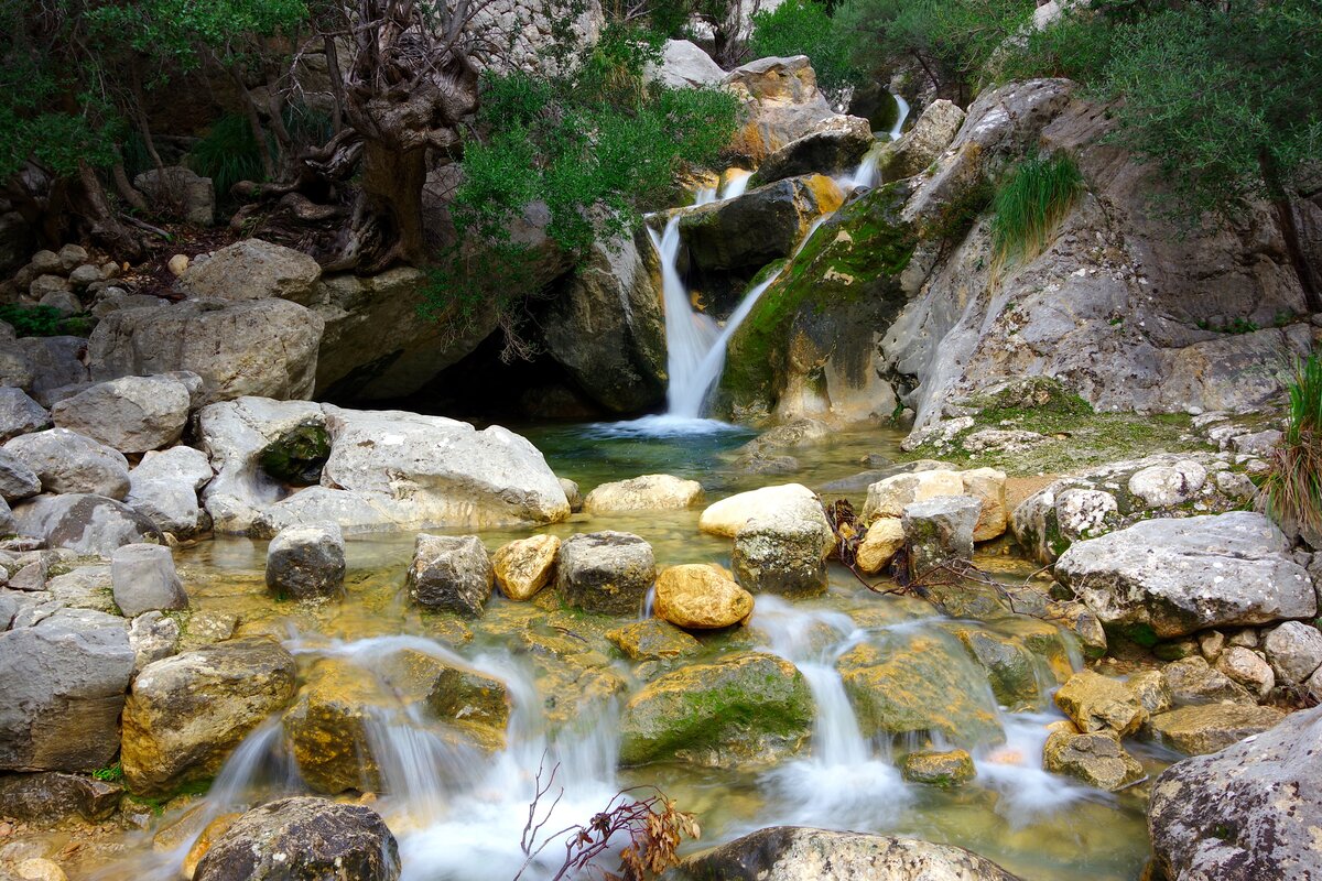
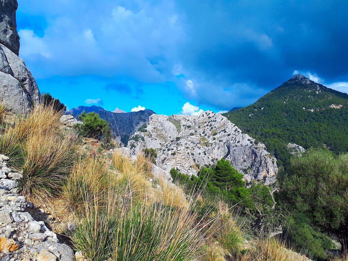
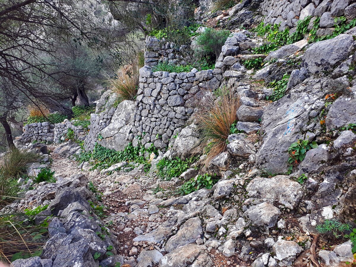
We follow the path from Barranc de Biniaraix and after 0.4 miles we reach a junction where we keep left and continue the increasingly steep but well-paved climb. After another mile walk and 1000 feet altitude gain, we reach another intersection. Before we continue towards Cornador Gran, we go straight for about 100 feet to find the Gorg de Ca'n Cati waterfall on the left. Both the waterfall and the rest of the Barranc only carry water in the wetter months of the year, the rest of the year they are completely dry and therefore not so spectacular.


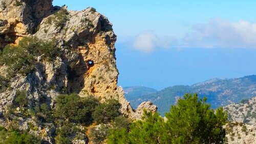
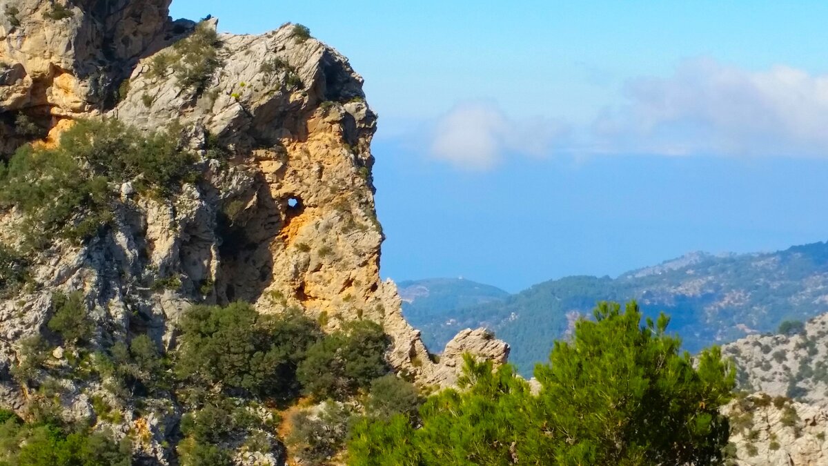
Stone Elephant
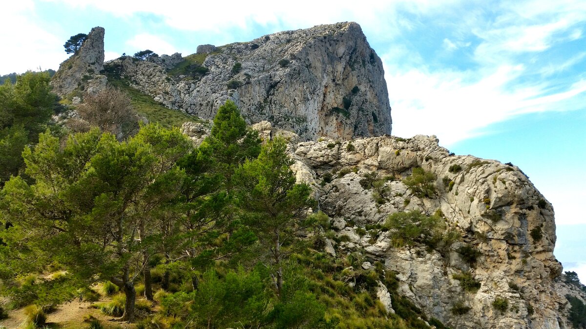
After seeing the waterfall, we return to the intersection we just passed and follow the path signposted "L'Ofre Cúber". We continue one mile along this cobblestone path climbing another 800 feet until we reach this stone formation that looks like the head of an elephant. No water flows in this section, but in the distance you can see waterfalls and eventually people Resultados de la búsqueda Resultados web canyoning.

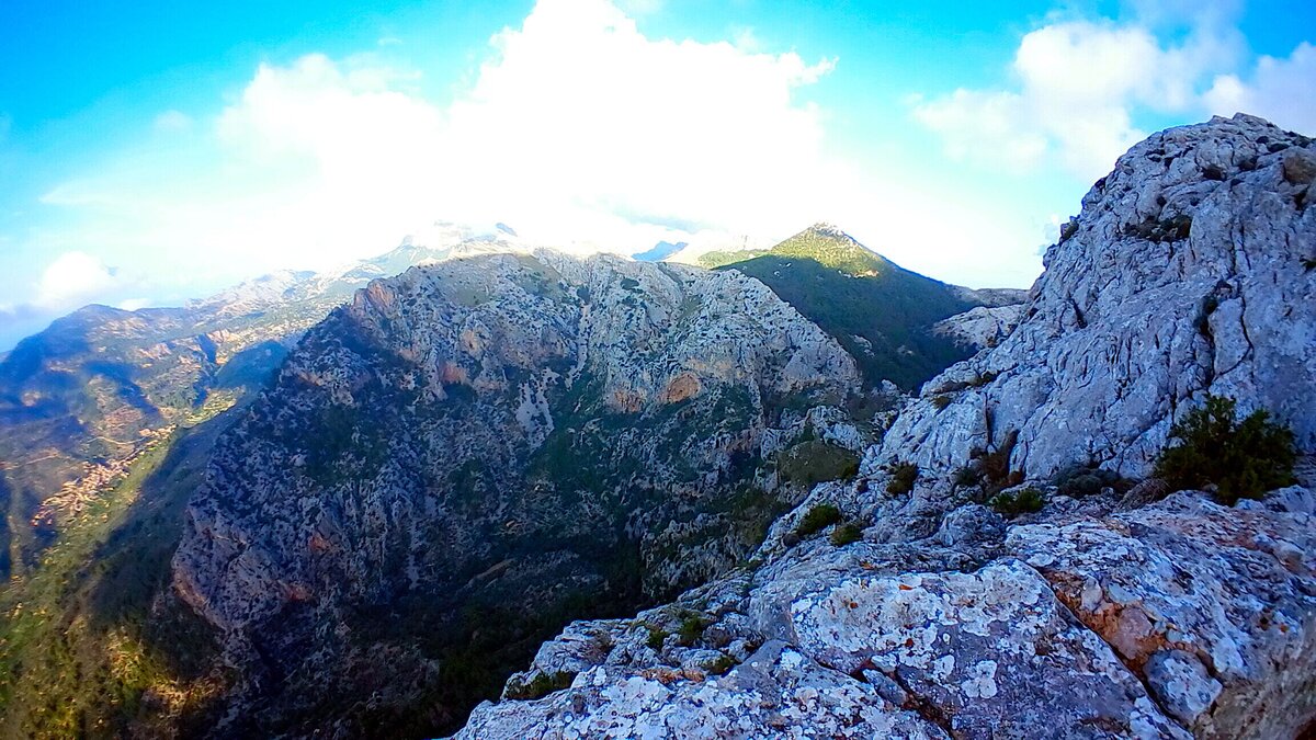
Lookout point Xim Quesada
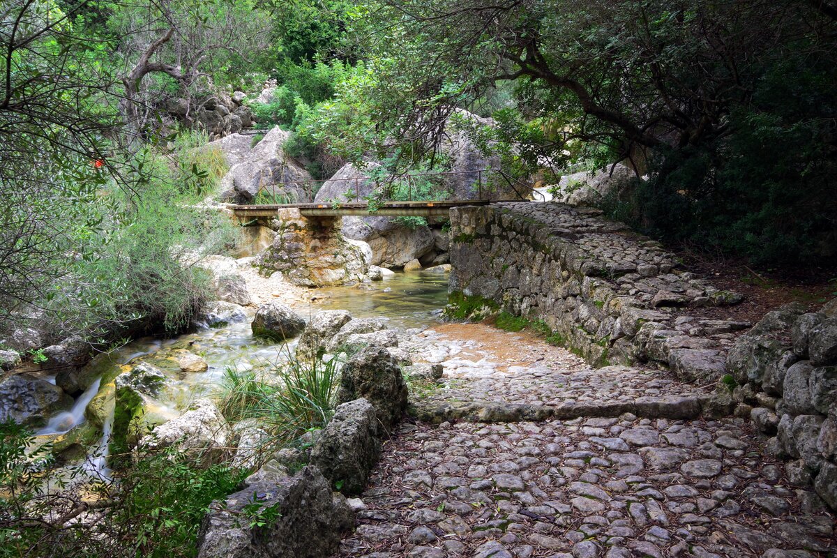
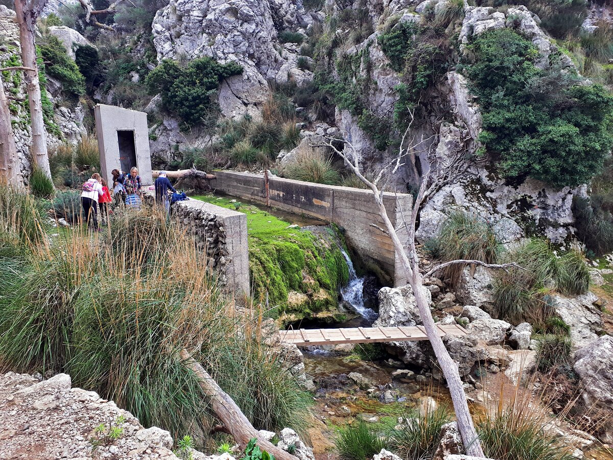
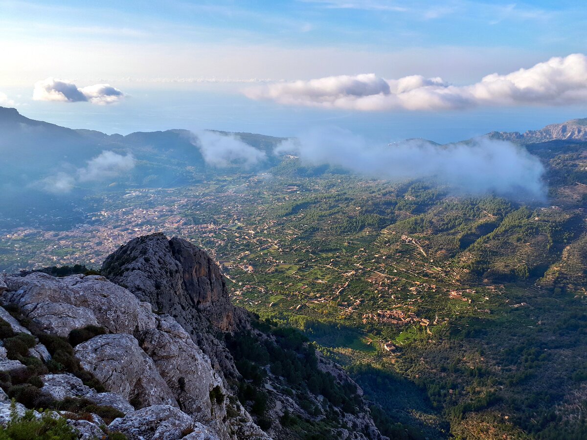
A few minutes later we find a sign that shows the way to the "Mirador d'en Quesada". Here we leave the easy path and after crossing the L'Ofre stream on a small wooden bridge, we walk one more mile with a height difference of 820 feet on a rather steep medium-difficult path. When we reach the top of the Cornador Gran, we only have to descend a few feet to the Xim Quesada viewpoint to enjoy the spectacular view over the Soller valley.


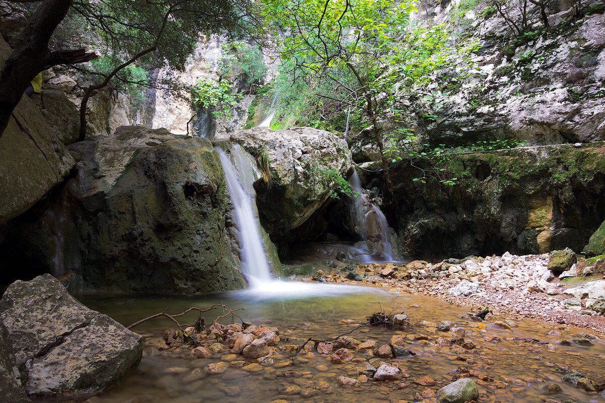
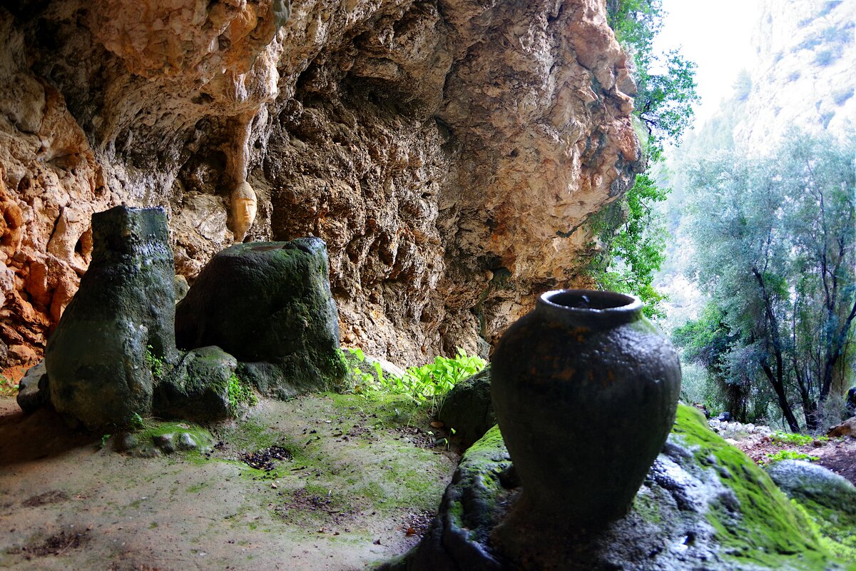
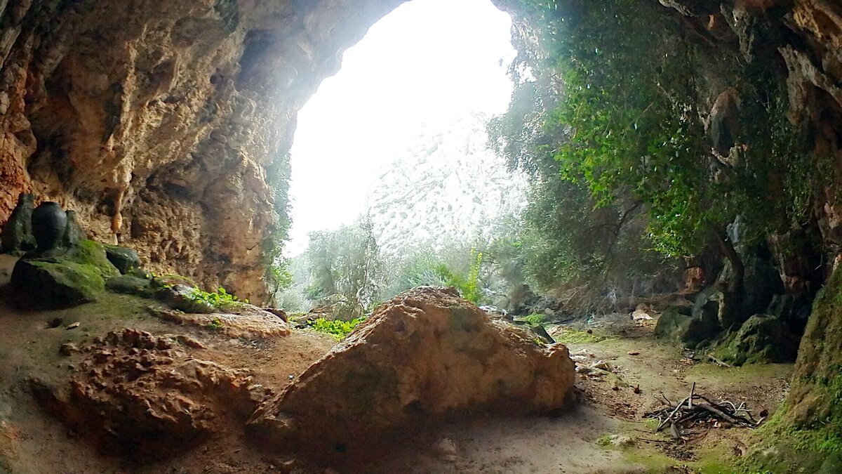
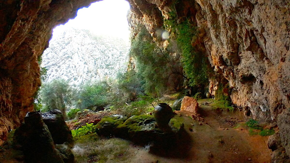
Alfabies Cave
We return the same way to the intersection near the Gorg de Ca'n Cati. Here we turn left to follow the old path. It is a rocky medium difficult path. After 0.6 miles with a small climb and then descent, we find stone steps on a wall to the right. The junction is not signposted, so it is easy to miss, we can follow the map, there is also a photo of it. Here we leave the path and a few meters further we find the cave, in which water drops fall from the ceiling in strange jars.

Return
We continue down the old path (camino viejo) and after 0.4 miles, we find the road we came from. We continue to the starting point.
Photos


Copyright © 2016 Robinson Riesco Silva