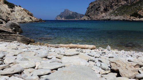
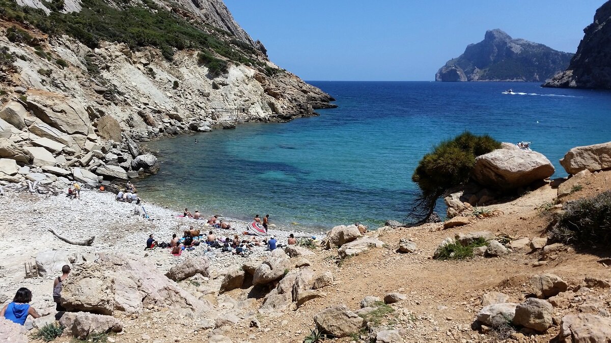
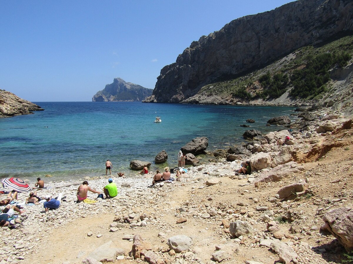
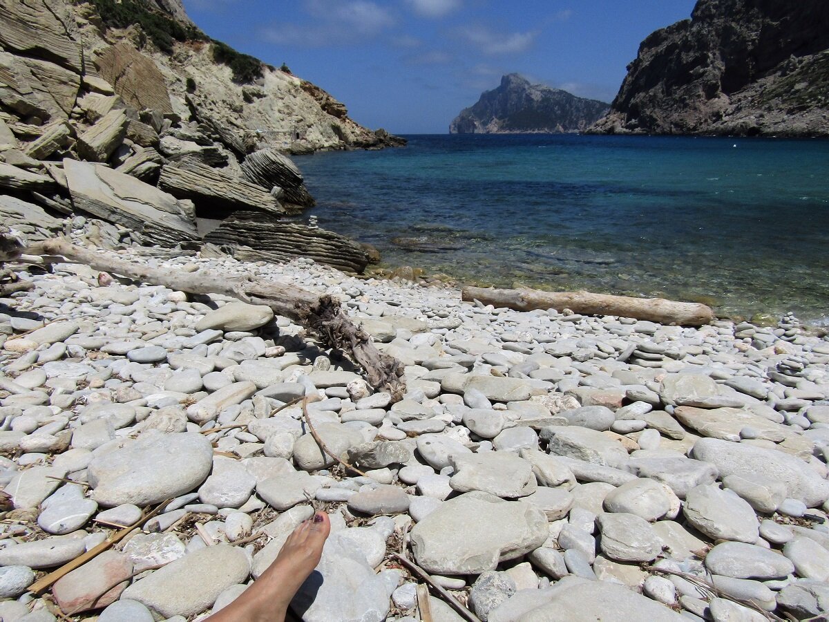
Playa Cala Bóquer
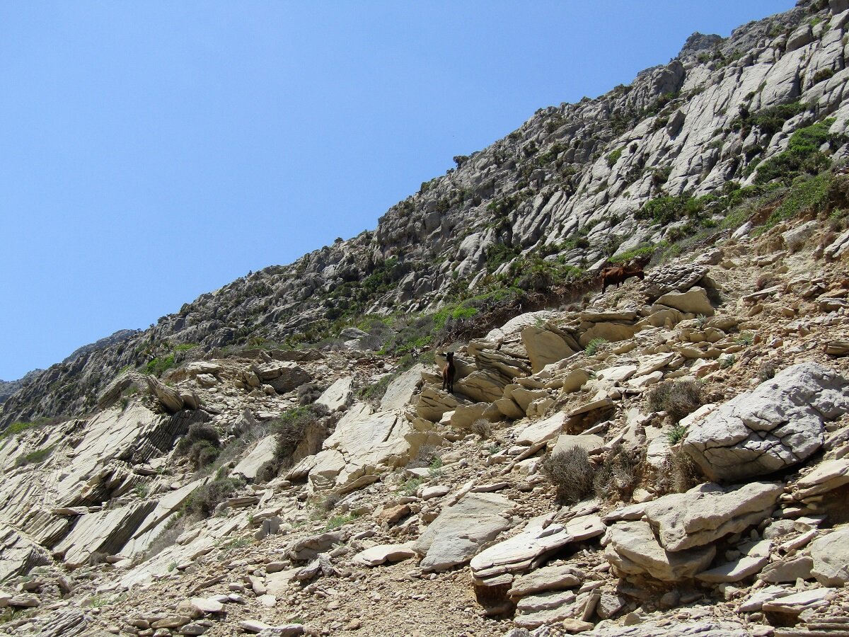
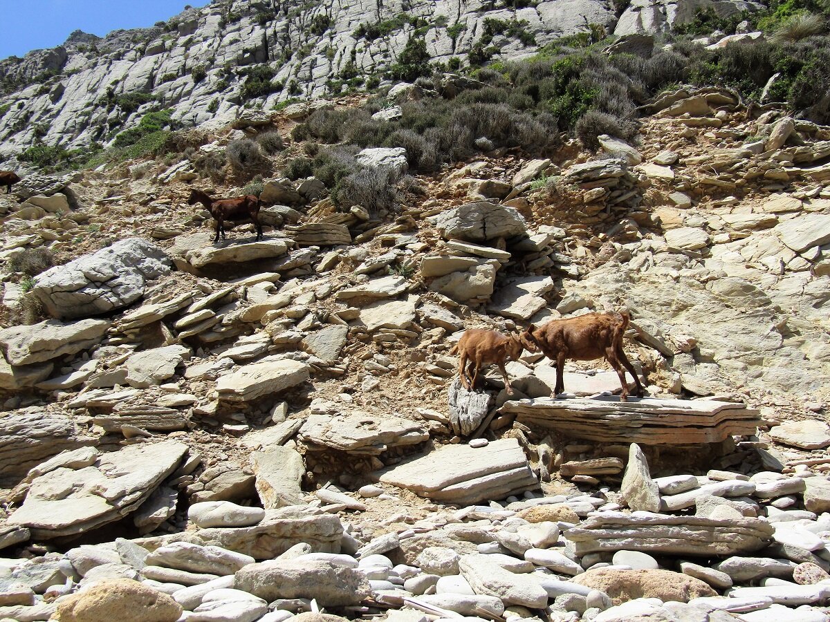
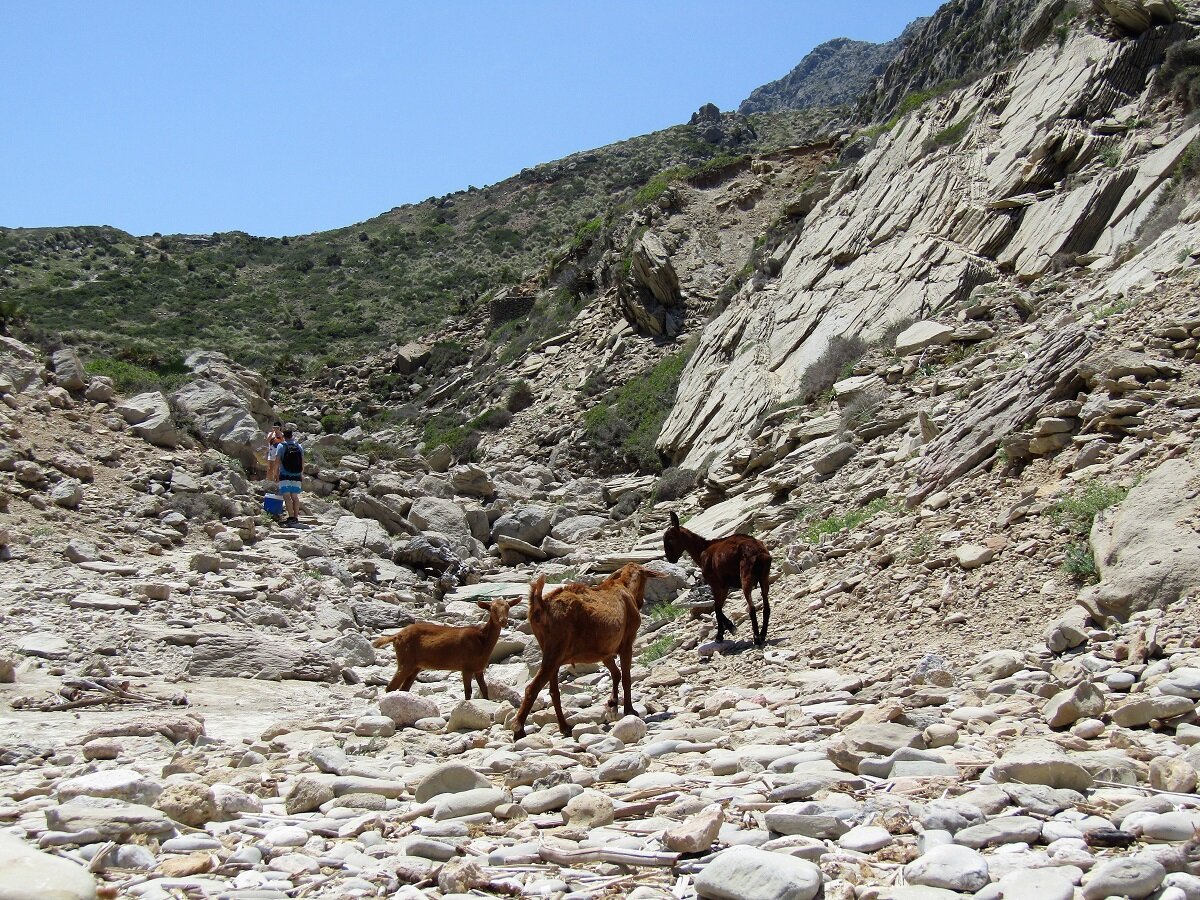
This easy-medium difficult 3.1 miles route with an elevation gain and loss of 590 feet, takes us to Cala Bóquer, on the peninsula of Formentor, between the port of Pollensa and Cala San Vicente. It is a virgin bay of big stones, with crystal clear waters and with little affluence, even in high season. It's perfect for bathing and also for snorkeling. There are usually Goats at the beach, so you have to be careful not to leave the food at their reach, if you don't want them to eat it.
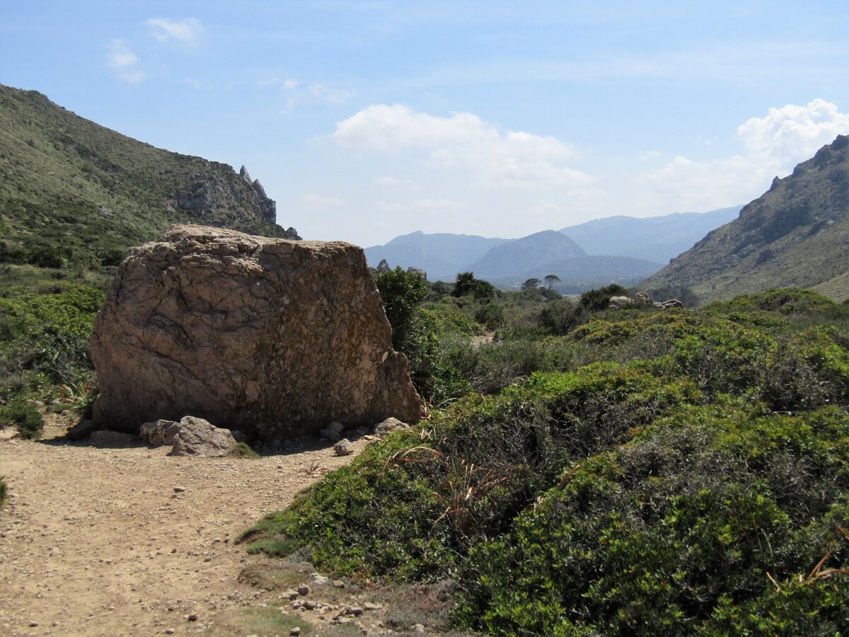
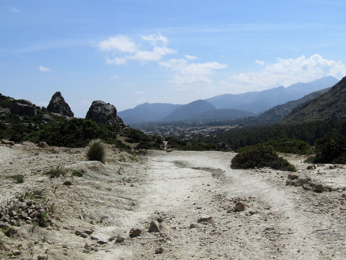
Most of the way is easy, only the descent to the beach is more complicated and has a moderate descent.
easy-medium 1:10 h 3 mi 0 ft 282 ft 591 ft
map
Route
Start
We start the excursion near to the Cases de Bóquer, coordinates 39.913067, 3.084119 (directions). There is a parking space and about 0,4 miles away the stop for line 354 (TIB).

Cases de Bóquer
The route begins at the parking. After a short uphill and 0.2 miles we reach the Cases de Bóquer, built in the seventeenth century.

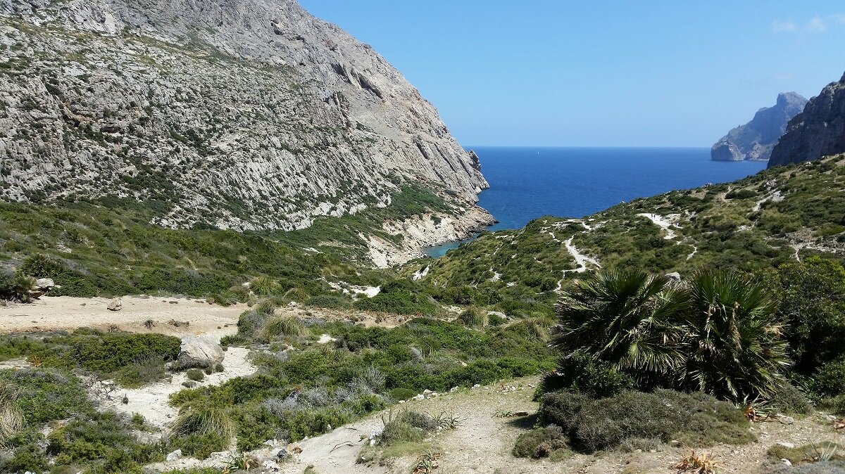
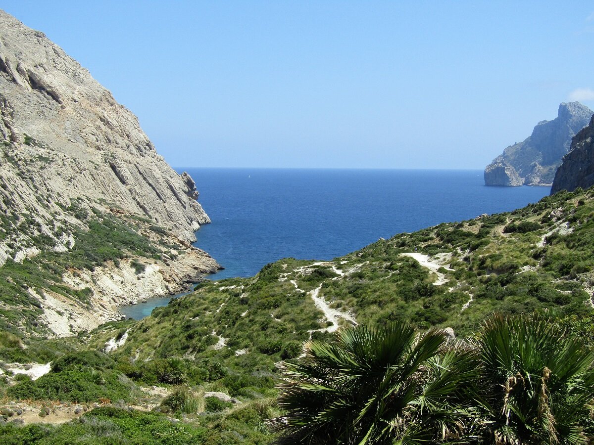
Playa Cala Bóquer
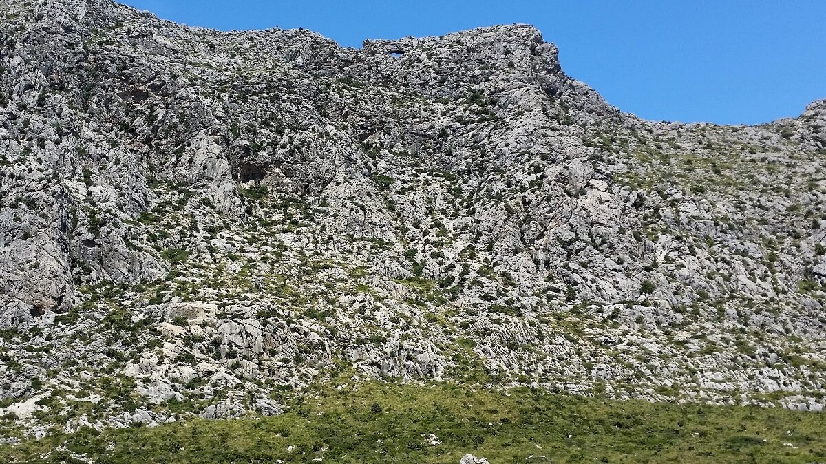
We leave the Cases de Bóquer by a metal gate and follow the path for a 0.9 miles with a slight rise of 165 feet to reach the highest point: Coll del Moro. From here we descend 260 feet over 0.3 miles to reach the beach of Cala Bóquer.
Return
You return on the same way.

Photos


Copyright © 2016 Robinson Riesco Silva