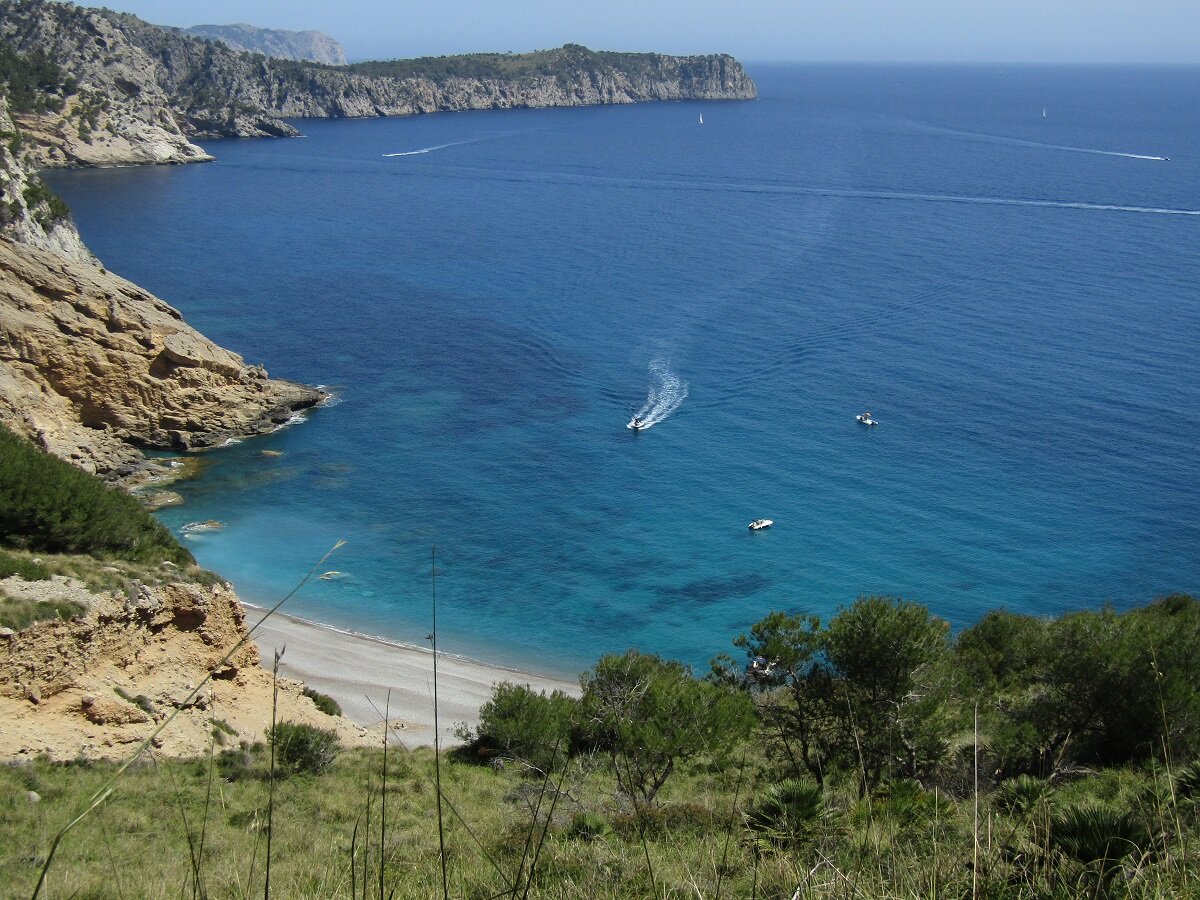
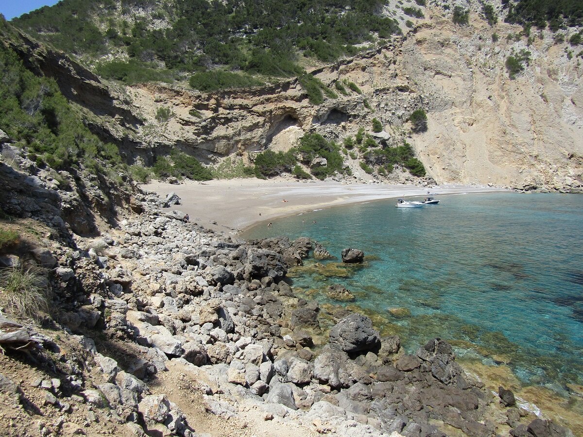
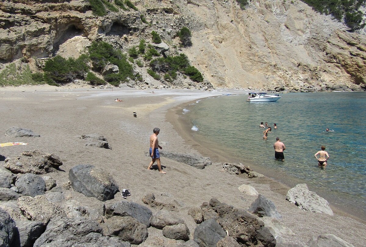
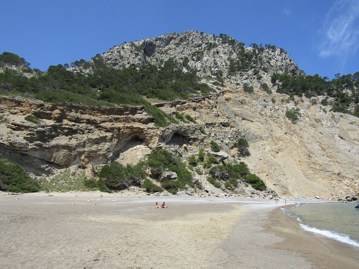
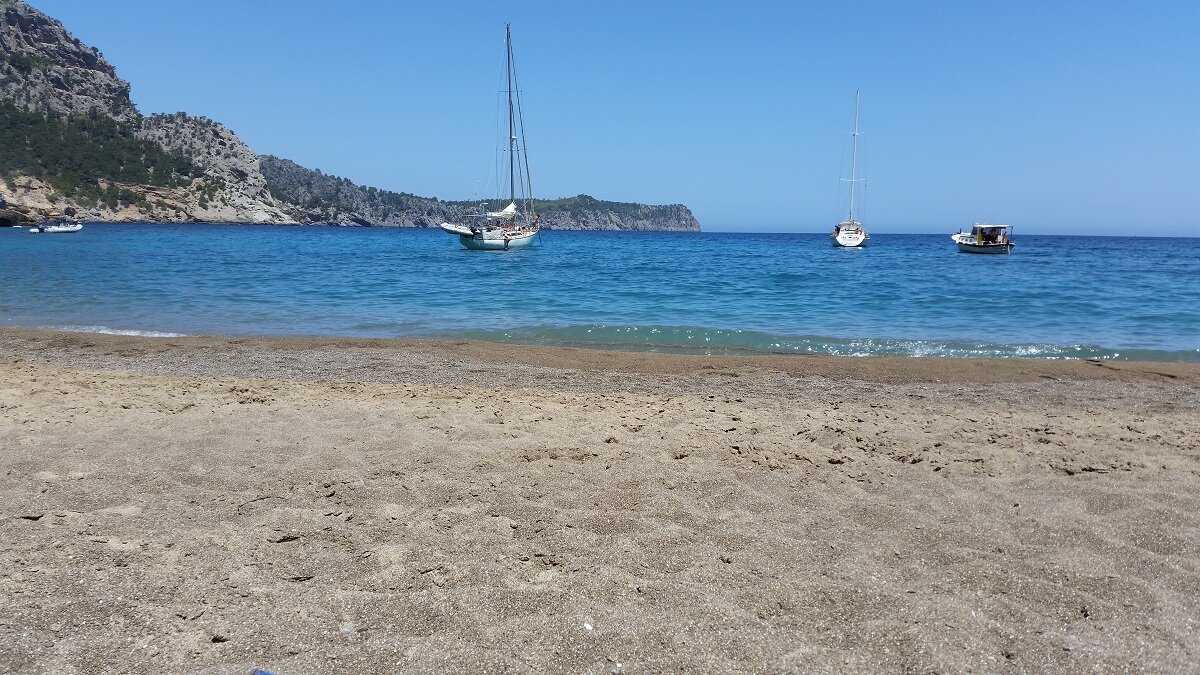
Playa Coll Baix
This easy-medium 2.5 miles route, with an elevation loss and gain of 790 feet, brings us to the Playa Coll Baix. At this virgin gravel beach, in the Alcudia peninsula, you will barely find other people. You can combine this excursion with the route to Cova Tancada which has the same starting point.
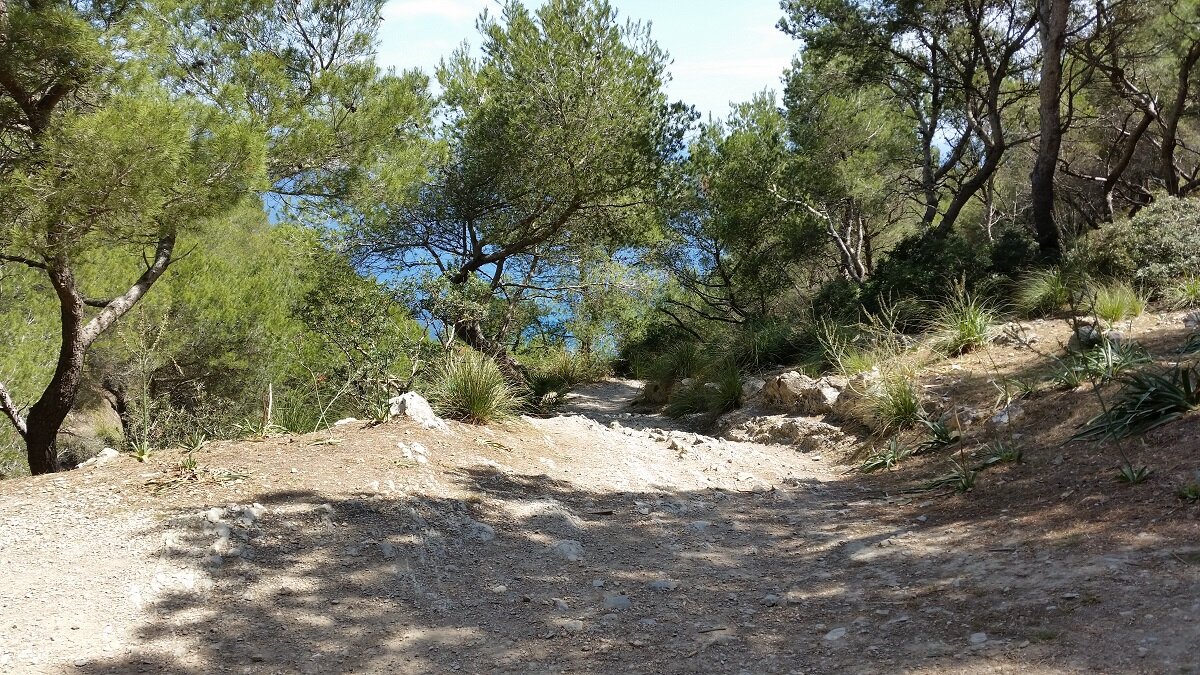
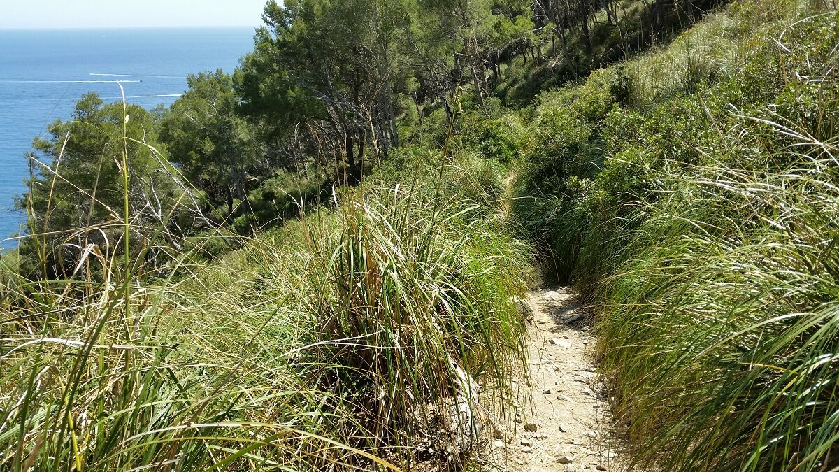
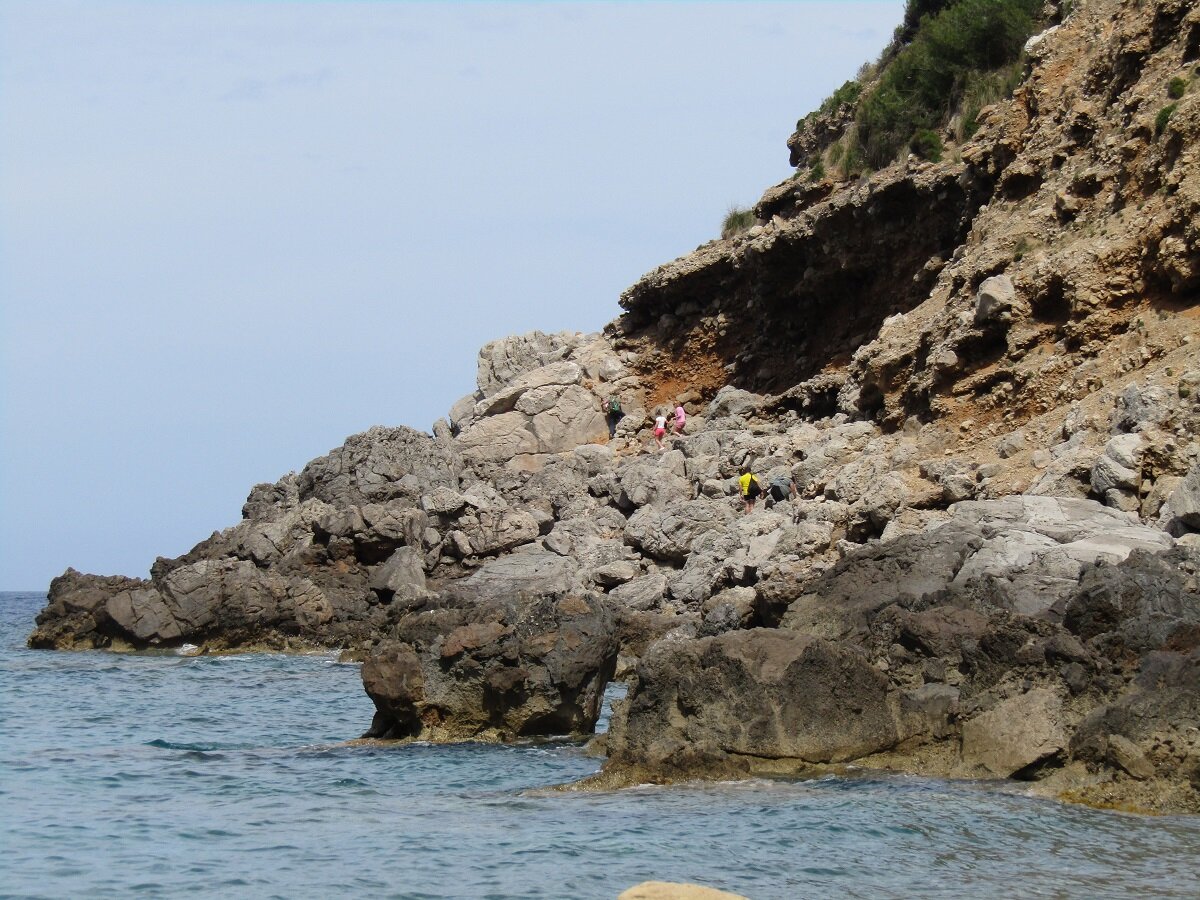
The way is mostly easy, only the last 0.1 miles are a little more complicated, as you have to walk along the rocky coast.
easy-medium 1:30 h 2.5 mi 10 ft 492 ft 787 ft
map
Route
Start
We start the excursion near to the refugio del Coll Baix, coordinates 39.8545709, 3.1807557 (directions). You can park here easily leaving the car out of the road.

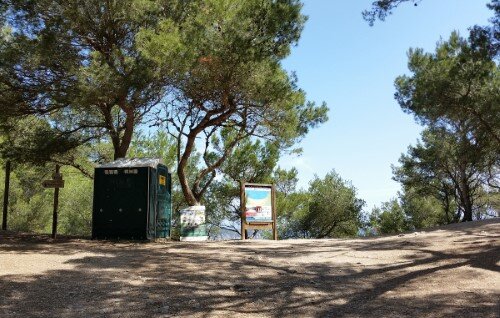
Refugio Coll Baix
You follow the way half a mile with a moderate elevation gain of about 200 feet. At the highest point, you find a refuge, a toilet and non-potable water faucet. You have to ignore the way to the left and follow straight.

Trail turn
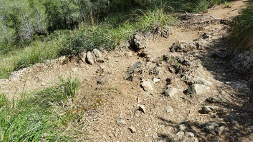
After about 0.3 miles, you reach the crossing from the photo. You have to turn left here.

Turn at the cost
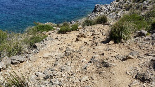
After 0.1 miles with a strong descent, you arrive at the coast. Here you have to turn left and continue along the coast.

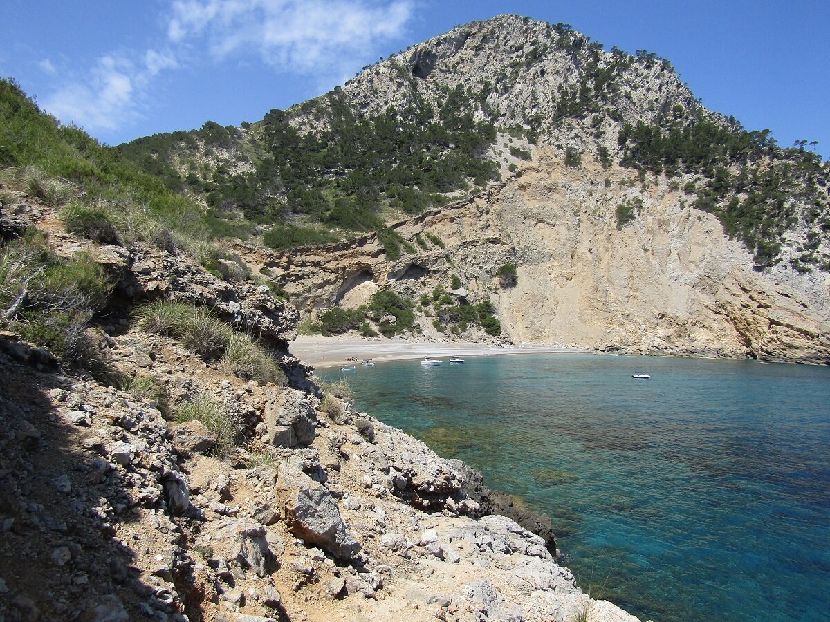
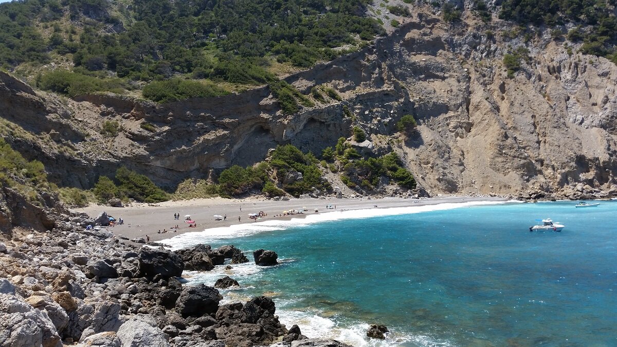
Playa Coll Baix
The last part of the excursion is along the rocky coast. If you look carefully, you will always find a trail without too much difficulty. About 0.15 miles later, you reach the Beach Coll Baix.

Return
You return on the same way.

Photos

Copyright © 2016 Robinson Riesco Silva